

Yucatan Photo Gallery
Introduction
The photos of the northern Yucatan Peninsula in this website were taken from 1969
to 1990. They illustrate points of interest in the cultural history of the northern
Yucatan region. This was a period of strong contrasts with an increasing trend to
urbanization and tourism while the rural landscape provided a glimpse of the Yucatan
of the distant past.
Geographically, the Yucatan Peninsula is the easternmost part of Mexico and separates the Gulf of Mexico from the Caribbean Sea. The northwest coast of the peninsula is 600 miles from New Orleans and the northeastern coast is about 150 miles from the western tip of Cuba. To the south, the Yucatan Peninsula merges with the countries of Belize and Guatemala.
The physical landscape of the northern Yucatan Peninsula lacks the spectacular mountainous terrain that dominates much of Mexico. Instead, the region is made of limestone similar to Florida. It has a northern section of low hills and sinkholes and very few surface streams; most water flows underground through flooded caverns emerging in sinkholes and springs along the shores. The Caribbean coast consists of cliffs in several locations with Cozumel Island and the reefs of the Chinchorro Bank well offshore. In contrast, the north and west coasts have sandy beaches and a lagoon (La Cienega) behind which salt is collected. An area of hills located across the interior of the peninsula contains beautiful Classic Period Maya archaeological sites. The entire peninsula has a tropical climate with mostly warm, sunny winters with occasional fronts while the summers are known for showers and tropical depressions with some developing into hurricanes.
Politically, the northern Yucatan Peninsula consists of three Mexican states: Campeche on the west, Yucatan in the north and Quintana Roo in the east. In the latter state, Cancun, beginning in 1970, became a focal point for major tourist development. Originally Cancun was a long sandy island with no road connections. However, it has now gone into its third and fourth generation of hotels and shopping centers and support structures. It is the east coast and Quintana Roo that has undergone the most rapid tourist development. In fact, most of the paved roads in Quintana Roo that now accommodate the tourism influx were built since 1970, some with four lanes in several towns.
Although the processes of change continue, the Maya are still an important segment of the population and add a special quality to the entire Yucatan Peninsula. After Mexico’s separation from Spain in 1821, Yucatan was politically inclined toward separation and even made attempts at independence. In 1847, an Indian revolt (The Caste War) began near Valladolid. Fighting went on intermittently for decades. The Maya rebels moved south, where Chan Santa Cruz (now Felipe Carillo Puerto) became a leading Maya center. Eventually, the Mexican army took control and the Caste War ended in May, 1901. Quintana Roo remained a rural Maya area until development began c. 1960.
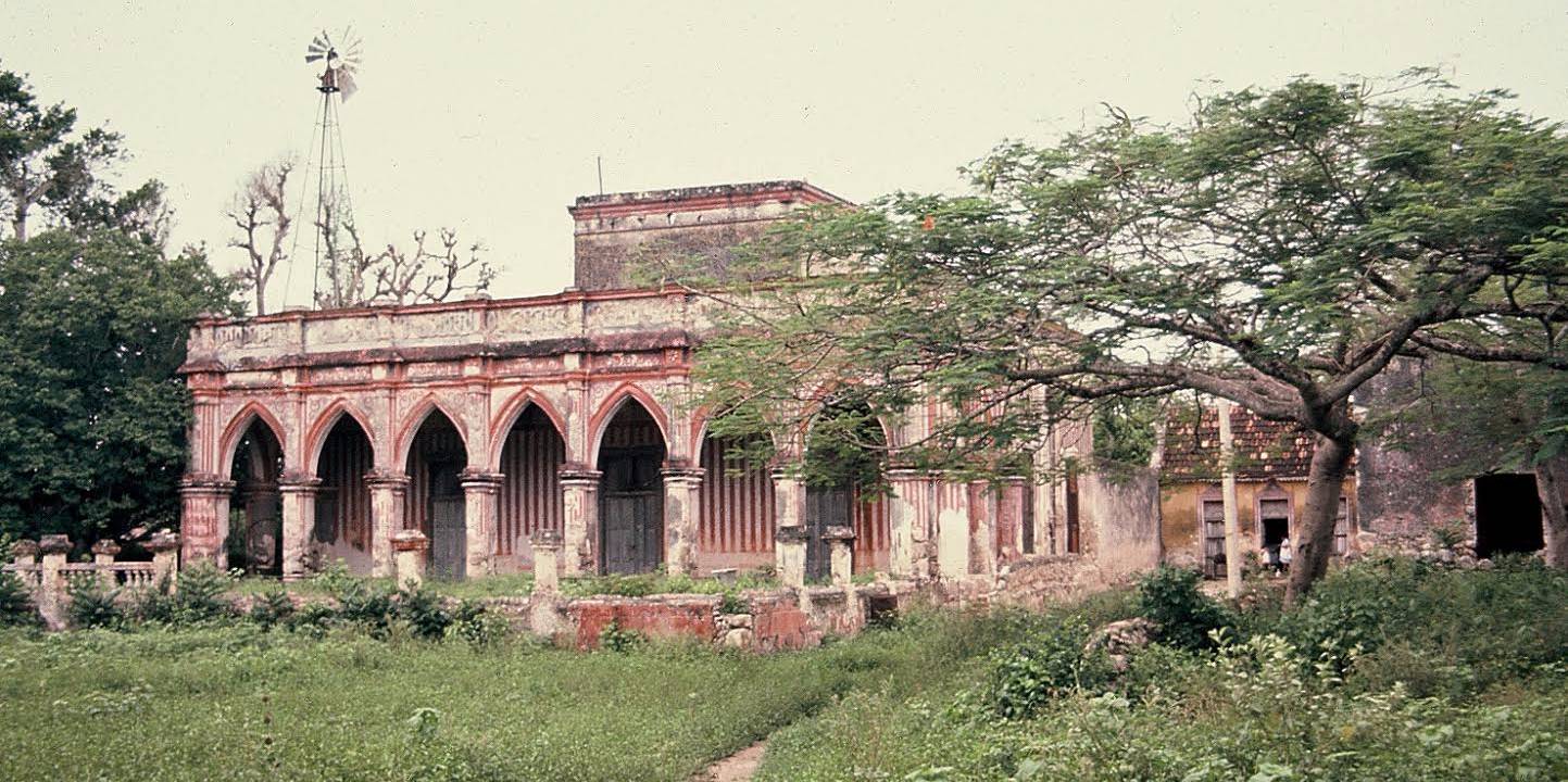
In the time from c. 1850 to 1988, Yucatan state had an industry based on the production of fiber of the native henequen plant (Agave sisalana), which, before plastics, was in great demand for rope, binder twine, upholstery and coarse bagging. Its production in 1880 made Yucatan one of the richest states in Mexico. The most recent peak in production was in 1970. Presently, Yucatan has very little henequen production. However, henequen brought major landscape and social change and great wealth to many families whose former plantation homes have been recently developed as tourist attractions. Thus, prehistoric Maya buildings, some ruins from the Caste War, colonial towns and churches and traditional Maya towns have become included in ongoing tourist development.
The majority of photos on this website are from my personal Yucatan collection. My
thanks to Dr. Aaron Williams and Andy Dees for providing additional photos and to
Robert Scarbrough of USA Web Services for his digital mapping and site construction.
My sincere thanks to Dr. Williams for help in assembling the photos and especially
for his companionship and support and many years of sharing incidents of travel in
Latin America.
Dr. Eugene M. Wilson
Emeritus Professor of Geography
University of South Alabama